- January 22, 2025
-
-
Loading

Loading
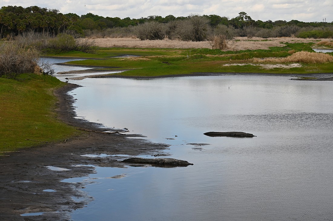
It’s a city known for its beaches and posh resorts. But it’s nestled in a thicket of forests and wide-open spaces.
Sarasota, bordered on the west by the Sarasota Bay, stands in the shadow of the Myakka State Forest, a natural habitat that provides a home for deer and countless species of birds.
The forest is made of mesic flatwoods, characterized by an open canopy of tall pines and a dense ground layer of shrubs and grasses. The Myakka River runs through the northeastern part of the forest, cleaving the forest into two distinct tracts.
Much of what we now know as the state forest was historically used for cattle grazing and farming.
The pine trees in the area were used for making turpentine starting in the late 1800s. The forest did not become a nature reserve until 1995, when it was purchased as part of the Myakka Estuary Conservation and Recreation Lands project.
Now it consists of 8,592 acres of protected spaces that provide hiking and recreational opportunities to area residents.
Here’s just a few of the wide-open spaces Sarasota residents can enjoy.
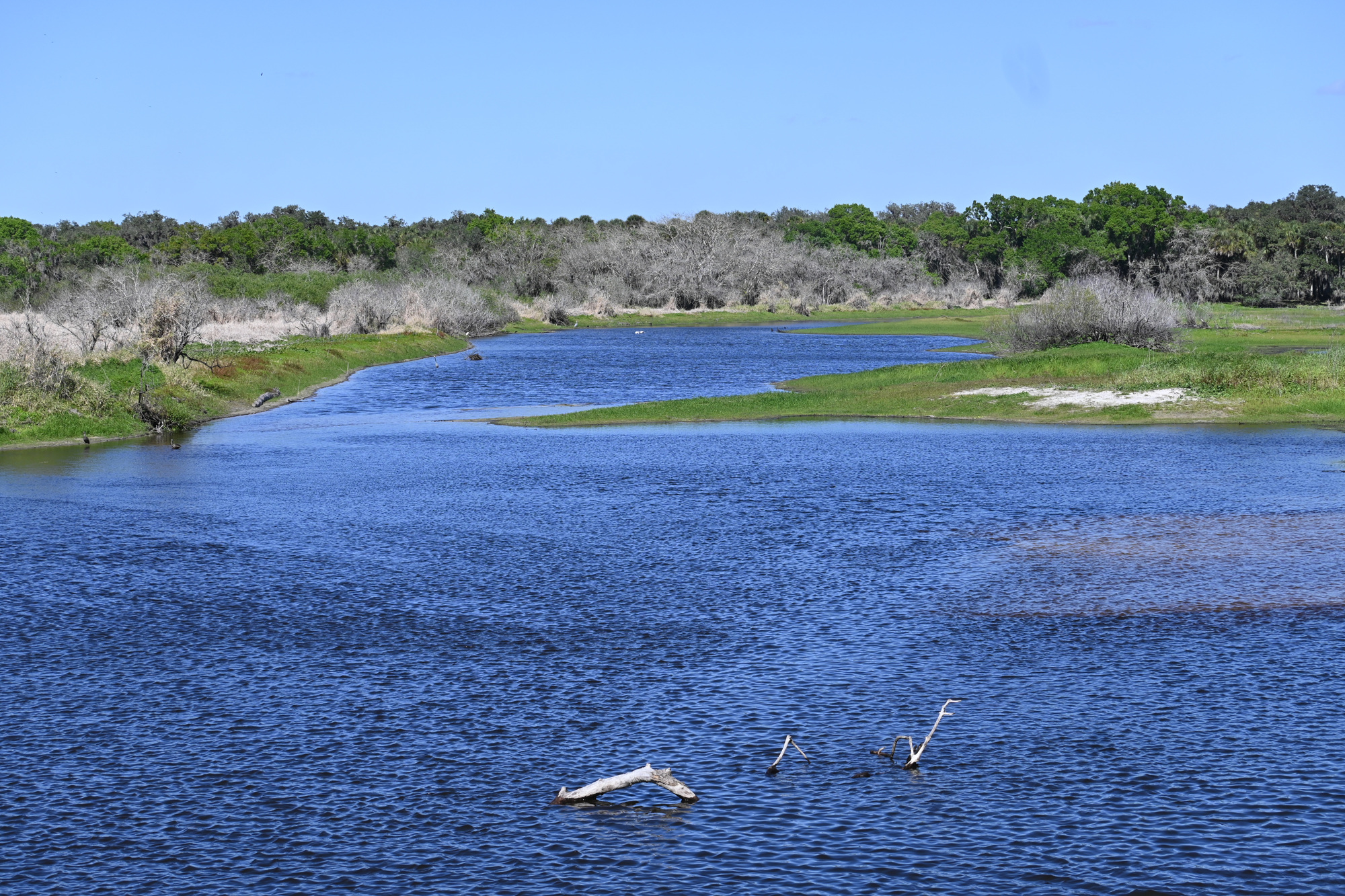
The seeds for the Myakka state park were sown by a Chicago businesswoman named Bertha Palmer, who relocated to the Gulf Coast and bought thousands of acres of land. She used much of the territory for cattle and swine ranching, and when she died in 1918, the Civilian Conservation Fund purchased 17,000 acres of Palmer's land.
That territory was turned into Myakka River State Park, which was developed between 1934 and 1941 and opened to the public in 1942. Many of the amenities still in use today — including the visitor center and two picnic pavilions — were originally developed by the Civilian Conservation Fund, and the park has grown up all around it.
There are two ways to enter the park, and if you enter off State Road 72, you'll quickly be confronted with a large open space on both sides of the road. If the weather is right, you'll see alligators lounging in open fields or submerged up to their eyes. There's also a spot named Deep Hole Trail where you can see dozens of alligators sunning themselves.
What else can you see in the park? That depends on the season and the time of day.
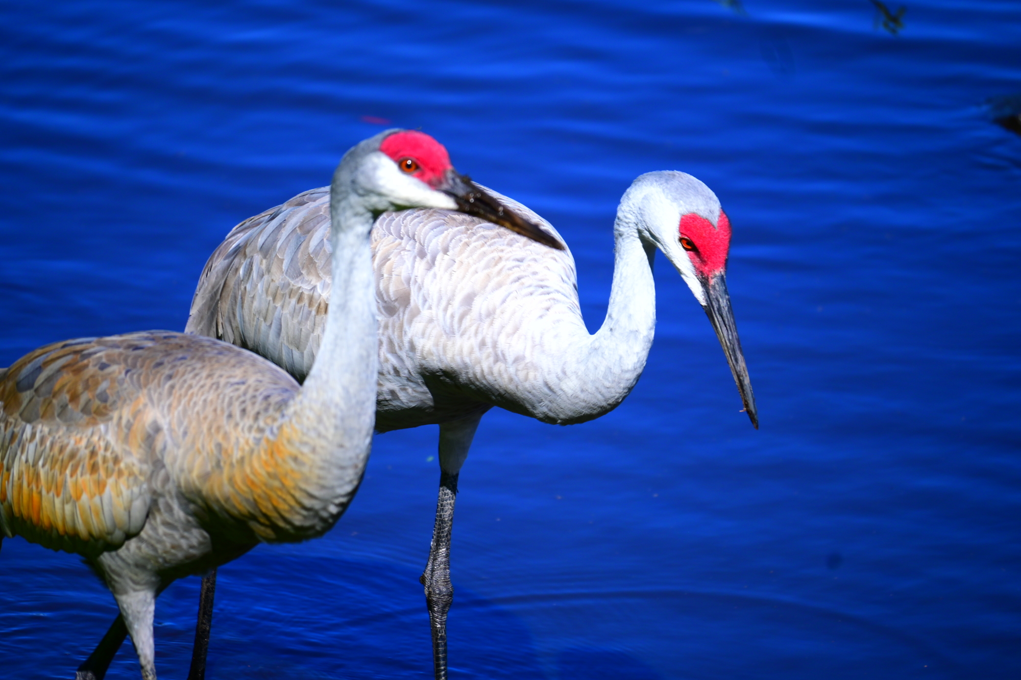
You can routinely see deer and large wading birds such as great blue herons and sandhill cranes in the park, many of them congregating near the boat launch and in scattered water holes arrayed throughout the park.
There's also an elevated canopy walk that will allow you to take a 100-foot jaunt through the skyline 25 feet above the ground. The walkway also has a tower that stands 74 feet high, giving you a chance for a bird's-eye view of the forest.
The canopy walk was completed in 2000, and it's billed as the first public treetop trail in North America.
Another cool feature of the park is the birdwalk, a walkway that extends over the river's floodplain. From here you can look out over a wide expanse of land and see birds of prey hunting over the water and alligators sunning themselves on the bank.
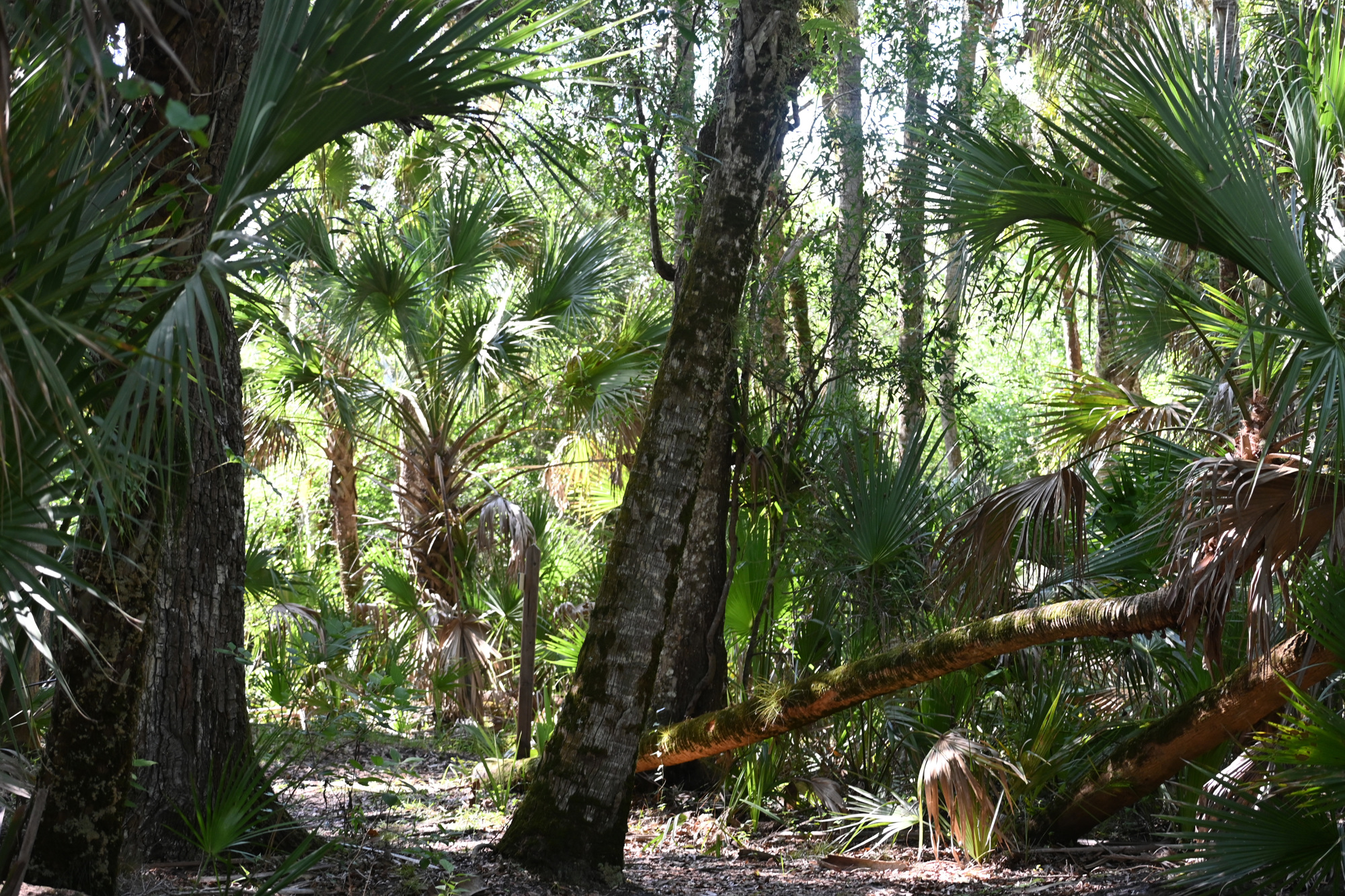
The Carlton Reserve is closer to Venice than Sarasota, and it's connected to the Myakka River State Park Reserve via the 12-mile Myakka Island Wilderness Trail, but it serves its own distinct purpose.
The property was purchased in 1982 for the purposes of developing a wellfield to provide drinking water for Sarasota County, and today it consists of 24,565 acres set aside for conservation.
There are more than 100 miles of trails to walk, bicycle or ride horses on, providing endless opportunities for recreation.
Some treeless areas of the ground are known as wet prairies; this means they are low-lying treeless areas with soft-stemmed plants. The Carlton Reserve has more than 1,000 of these wet prairies over its territory.
During the rainy season, flood waters will cover much of the 38 square miles of the Carlton Reserve, and fish can navigate the whole expanse. But in April and May, when the waters recede, the fish are trapped in shallow pockets.
That gives wading birds plenty of opportunity to pick off a meal with minimal effort.
There are more than 80 miles of hiking trails within the Carlton Reserve, and they are delineated by color-coded markings. The Carlton Reserve also has a kayak launch, and 6.5 miles of the Myakka River abuts the reserve.
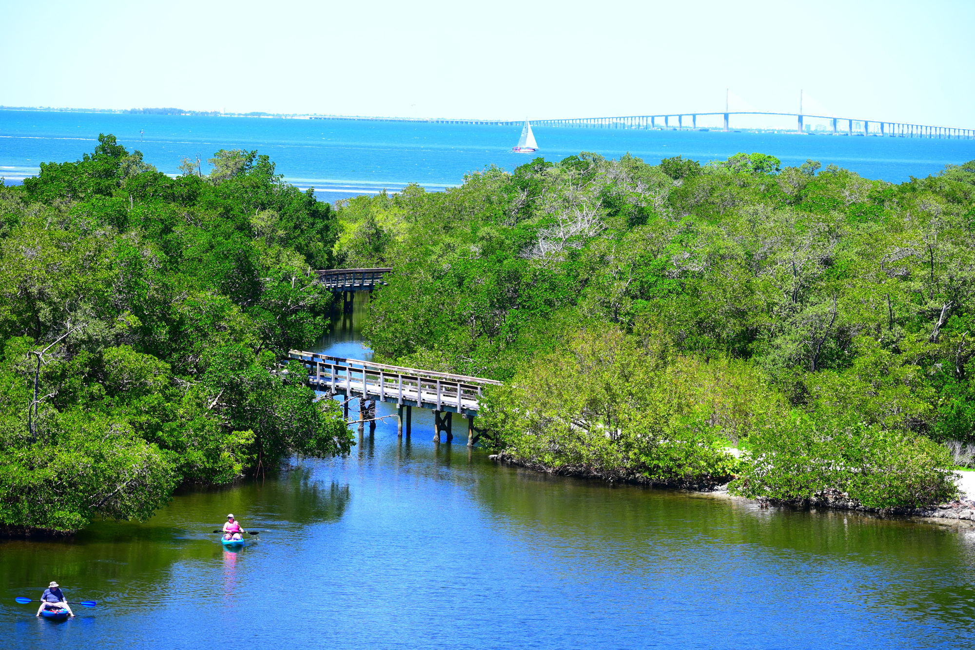
To the north, the Robinson Preserve is situated on a salt marsh in Bradenton and consists of a 600-acre span of coastline.
Here, you'll find waterways to canoe or kayak down and scenic bridges, mangrove forests and picnic spots to traverse on land.
The Valentine House, a 120-year old home, was relocated to the Robinson Preserve and rests near the entrance.
Perhaps the most prominent feature of the reserve is a 53-foot tower that provides a commanding view of the Tampa Bay. You can see the Sunshine Skyway off in the distance, and in the foreground, canoes or kayaks lazily cutting through the water.
Interestingly, Robinson Preserve was formerly distressed farmland. Much like the other parks in the area, it has been restored to its natural state by a partnership of state and local agencies dedicated to conserving wild Florida. Here you can see a wide variety of birds all year-round, and there are miles of hiking trails to saunter down and enjoy the view.