- May 5, 2025
-
-
Loading

Loading

The emergency dredging project of Longboat Key’s Canal 1A near Beer Can Island has been completed.
Over the past three weeks, the crews have been working to reopen the passage between the lagoon to the west and Sarasota Bay to the east for wildlife access, tidal flushing and boats.
The town used previously granted permits from state and federal agencies to dredge about 1,500 cubic yards of beach-compatible sand from the waterway.
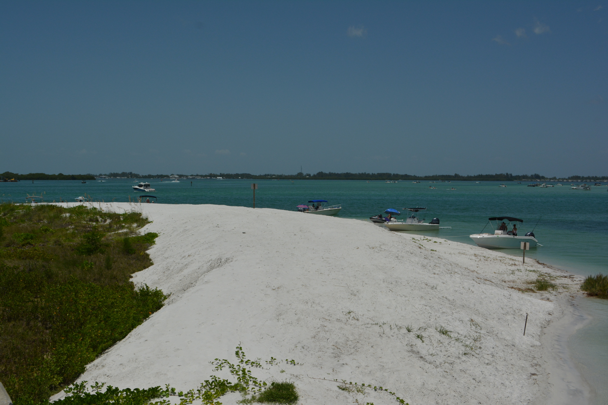
The crews that excavated the sand were directed to place it on a mound temporarily. The sand will then be moved to the Gulf side of the bridge.
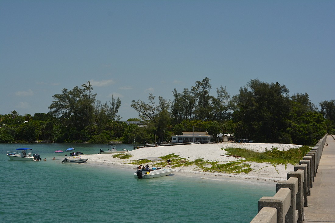
In a “Talk of the Town” segment with Town Manager Tom Harmer, Public Works Department Director Isaac Brownman met on the newly created mound of sand on the area also known as Greer Island. They discussed the ins and outs of the project and what the department saw for the future of the area.
“This sand has migrated here over time,” Brownman said. “Greer Island used to stop west of the bridge, so we are trying to return some of this sand back to where it came from on our Gulf-front beaches on Longboat Key.”
Property owners of Land’s End dock right by the bridge had reported the sand reaching up to their dock, creating a hazard and a nuisance.
Brownman said the sand likely came from beach nourishment projects that occurred west of the bridge.
“Over time the way the currents and dynamics work on this part of the island, a lot of this material would either wash into the pass and we could dredge it back out,” he said. “Some of that material would actually wrap around and deposit here where the velocities are slower and the currents are slower.”
In the likely event sand begins to pile up in the same area that it was just removed from, the department plans to continue to remove the sand from the spit as necessary.
“What we are in progress with right now is a permit for a management plan so that the town can come in and re-dredge this material and place it back on the Gulf front where it came from,” Brownman said. “We will do it as many times as we need to do it with whatever frequency we believe we need to do it with.”
The permit has been obtained, and the town is in the process of creating a final design plan.

The sand is to be moved back to the Gulf side of the island with Brownman and the department focusing on aerial photographs from 2006 for locations in which to replace the sand.
After plans are complete and the project goes out to bid, a contractor will take on the job, which Brownman is hopeful will be complete by the end of the year.
The town is only allowed to remove a limited amount of sand. As the sand moved over to the area, it allowed for the growth of mangroves and other ecologically important habitat, which caused state and federal permits to consider limiting removal.
Additional sand from the opposite side of the bridge and dredging site will also be part of the sand being moved to Gulf-facing beaches.
For future dredging projects, Brownman said the department intends to plan such projects alongside beach nourishment cycles, which currently take place every six to eight years.
The dredging took place in an area set for new rules limiting motorboats in the area. On the southeastern portion of the sand, the town is in the process of obtaining permits that will prohibit the use of motorized vessels in the area.
“We will be putting buoys out here and signs that talk about that this is not an area for motorized vessels,” Brownman said. “We’ll also be putting up signs just to encourage people to be careful when they are out here in this area, if they are going to be wading or swimming. We’ll be establishing that as soon as we get those permits in hand.”
These signs are likely to enforce the newly permanent rules, which will only allow swimmers, kayakers and paddleboarders. Vessels will still be allowed to beach and anchor in nonrestricted areas of the spit.
For property owners in the restricted zone, in the lagoon and law enforcement vessels, a navigational zone will be maintained and enforced for both to have access to the area.
“(The restricted zone) will extend from a point a little northward of the dock, about 180 feet to the north and then that zone will conclude,” Brownman said. “There is no restriction beyond that as you head west under the bridge.”
The timeline for restricting access is dependent on how quickly the town receives its permits from Florida Fish and Wildlife Commission. Since the construction, the town has had to resubmit its permits that show the new shoreline created by the dredging.
“There is work now underway to educate the public about the changes with the new ordinance,” Harmer said. “The beach volunteers have been notified. Rental boat companies have been notified. We’re trying to let the boater community know of these changes.”
The department is working on finalizing plans for another project, which includes redepositing sand back on the Gulf shores where it originated from.
The plan is to continue to dredge the area as needed to maintain the area as the town would like to see it. The plans for the placement of the sand originate from drawings done in 2006 that show the placement of the sand prior to the currents and other projects pushing it on the other side of the bridge.