- May 10, 2025
-
-
Loading

Loading

Mary Anne Bowie thinks she’s found a way to turn Arlington Park into a better — and better-connected — neighborhood: making a map.
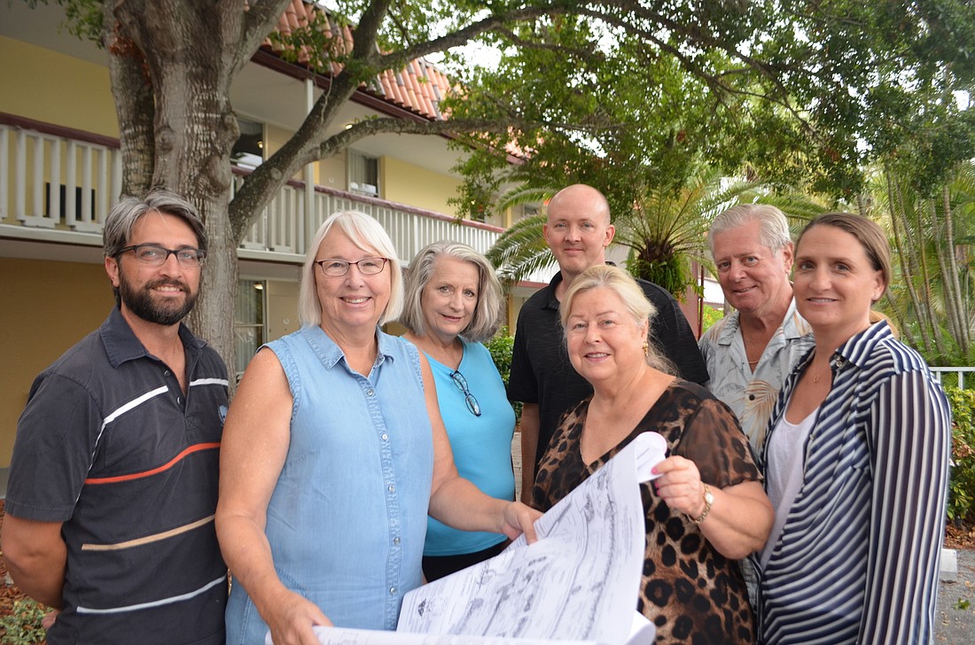
Bowie, vice president of the Arlington Park Neighborhood Association, led that group’s effort to create a detailed neighborhood map. The final product, distributed in August to the 1,463 residential units in the neighborhood, details every parcel in Arlington Park, every sidewalk, every bike route and more.
Although some residents active in the neighborhood association had a good grasp on the dynamics of the neighborhood, Bowie wanted to create a document that would ensure everyone could easily stay informed.
“A lot of people didn’t even know they were in the Arlington Park Neighborhood Association boundaries,” Bowie said. “They didn’t know where our seven Little Free Libraries were located. They didn’t know where sidewalks were, necessarily.”
After the neighborhood received a $2,923.45 city grant for communications, Bowie, a professional planner, decided a map could be a useful tool. She partnered with Nick Alexandrou, the city’s geographic information systems coordinator, to compile relevant information.
Alexandrou has several GIS layers — data overlying a map of the city — at his disposal. Bowie was able to pick and choose which layers would prove helpful. She was also able to ask for information on property beyond the boundaries of Arlington Park, highlighting the proximity to schools and community centers.
“We have many things that are on our edges that are important and kind of encircle our neighborhood,” Bowie said.
Information about neighborhood, city and county officials and services are printed on the reverse side of the map. But in addition to fast facts about Arlington Park, Bowie said the map would also serve as a point of reference for future neighborhood improvement efforts. Even longtime residents weren’t aware of some designated trails and paths that aren’t clearly marked.
Arlington Park Neighborhood Association President Nathan Wilson said he was one of the people who learned new things thanks to the map. He’s hopeful it will empower residents to work collaboratively toward shared interests, now that there’s a shared point of reference.
“We’re trying to build community,” Wilson said.
Now that neighborhood association leaders know the precise boundaries of the public realm, it can work to enhance those parts of Arlington Park.
“There are ways that we as a city and as a county can look at our public right of ways and look at them with new eyes as opportunity areas,” Bowie said. “Maybe they’re pocket parks. Maybe they’re community gardens with organic crops. The whole point is — we have to first look at what we own as citizens in the public ownership.”
At the Oct. 7 Coalition of City Neighborhood Associations meeting, Bowie encouraged other neighborhoods to follow the same path as Arlington Park. Already, she said, she’s heard from a couple of interested residents. She suggested she could work with city staff on a workshop to walk people through the mapping process, though that’s just an idea at this point.
Still, Bowie is a strong believer in the power of the map to bring a community together. She said people used the documents during Hurricane Irma, using the emergency contact numbers printed on the back of the map. People used them as navigational tools Oct. 8 during Porchfest, a neighborhood concert event.
And, even beyond the boundaries of Arlington Park, she believes empowering residents to better know their surroundings could lead to improvements throughout the city.
“In order to have reverence for what is our neighborhood, we need to start with: What are our public spaces?” Bowie said. “By seeing what those public spaces are, we have the opportunity to create wonderful things.”