- April 11, 2025
-
-
Loading

Loading

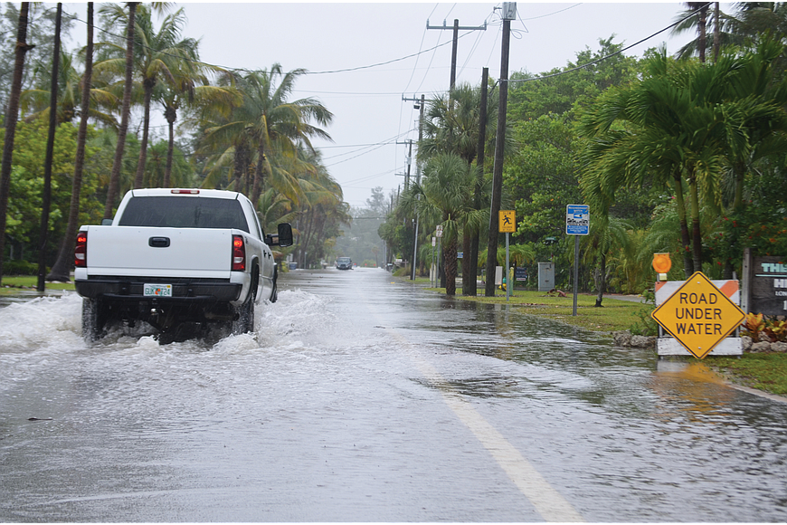
On Longboat Key, environmental issues such as sea level rise are felt more acutely than elsewhere in country. Planning for rising sea levels and managing beaches becomes essential when the lifeblood of a town is its shoreline.
Longboat recently received funding from the Florida Department of Environmental Protection for its sea level rise plan. The non-matching grant is worth $45,443 and covers the first step of phase two of the town’s planning.
According to an email from Town Manager Tom Harmer sent to Town Commissioners, “This task will focus on digitizing the town’s stormwater infrastructure to assist in evaluating vulnerabilities and future enhancements.”
The town worked with APTIM Environmental and Infrastructure Inc. on phase one, which offered an “Initial Assessment” – the name of the phase – along with projections specific to Longboat. Localized data and historical information tell the town what to anticipate over the next 30 years with the intent of revising every five years based on new data.
APTIM created digital elevation maps of Longboat to indicate the most vulnerable areas, based on a reasonable baseline rather than the most alarmist or conservative forecasts. The town settled on the middle of U.S. Army Corps of Engineers’ predictions. Phase one has been completed and presented publicly.
In what Public Works Director Isaac Brownman called “a high-level snapshot,” APTIM’s concluded areas of concern are:
APTIM also outlined preliminary considerations for the town and the Florida Department of Transportation:
These eight considerations are some of many put forth by APTIM, all of which target specific areas of concern.
Phase two, “Define Impacts,” is directly informed by phase one. The grant pays for a complete inventory of the town’s stormwater infrastructure.
“The digitization is just one piece of it,” Brownman said. “Once they get all the survey data and identify all the public stormwater infrastructure, then they're going to take that field data and create a GIS Stormwater Atlas. That's a digital framework where we can get access to reference data.”
GIS stands for Geographic Information Systems.
Brownman said the beginning of phase two will drill down into actual elevations of the town’s infrastructure. APTIM will look for openings where tide levels can infiltrate the stormwater system. This more detailed vulnerability analysis is closely connected to phase one, Harmer said. It will tell the town where it may need to put money in the long term.
Overall, phase two will also review the town’s ordinances as they relate to bulkheads and seawalls, make recommendations and then do some focus group workshopping before taking the details to the Town Commission. The rest of the tasks of phase two involve looking at bulkhead and dune elevations, examining storm sewer list stations and mapping critical infrastructure, such as Town Hall and the fire stations.
“All that put together, phase two really is a more detailed definition of the town’s vulnerability based on the phase one baseline we established,” Brownman said.
Town officials are already in the midst of trying to find financial backing for the other parts of phase two, including possible grants.
“We do beach nourishment, we do canal dredging, we do sea level rise, all of those complement each other.” – Tom Harmer
Brownman gave a tentative phase two kickoff date of early September, and he said the opening portion should last approximately three months.
Phase three is called “Adaptation Strategies” and is meant to determine engineering, protective measures, policy initiatives and approaches to land use, as well as how to pay for these components.
Phase four, “Implementation Plan,” will execute phase three's strategies.
“They’re different elements of what I would call a comprehensive shoreline protection plan,” Harmer said. “We do beach nourishment, we do canal dredging, we do sea level rise, all of those complement each other. They’re separate projects, but they all relate in some fashion.”