- December 27, 2024
-
-
Loading

Loading

Continued growth in the Lakewood Ranch area leads to a change in business at the Manatee County Property Appraiser.
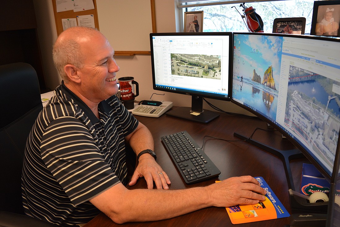
Starting in fiscal year 2019, the Appraiser’s Office hopes to expand its use of pictometry, a patented aerial photography process that gives appraisers more and higher-quality views of properties, Property Appraiser Chief Deputy Mark Johns said. With nearly 1,500 new homes sold in Lakewood Ranch alone in 2018, those images will become important for helping the Appraiser’s Office keep up with its statutory obligations to reinspect homes at lease once every five years.
“It’s just keeping up with the growth,” Johns said of why it’s needed. “We need to keep up with the changing marketplace. The cost-savings is tremendous.”
Johns estimated the use of pictometry will keep the Appraiser’s Office from having to hire more staff and save the appraiser’s office an estimated $150,000
to $200,000 annually in personnel and vehicles.
The appraiser’s office has requested $48,000 in the fiscal year 2019 budget to use the technology on an annual basis rather than every other year, as it has done since 2013.
Pictometry images are captured by low-flying airplanes depicting up to 12 oblique perspectives (shot from a 40 degree angle) as well as an overhead view. The perspectives can then be aligned to create composite aerial maps that span many miles of terrain. The Appraiser’s Office can identify individual properties to look for changes, such as pools and roof conditions.
“We can look all the way around the property,” Johns said, noting the quality of the images also is better. “Because of this, we’re able to get in with a much closer view.”
Johns said using pictometry is less intrusive than having inspectors go to properties to inspect homes in person, though staff still goes in person if needed or when the view is obscured from the air.
The total cost for pictometry services is shared equally between the Property Appraiser’s Office and the Manatee County Sheriff’s Office, as well as the Public Safety, Public Works, Utilities and Building and Development Services departments.
“The imagery is used for a wide variety of activities, including disaster response, event planning, verification of roads added to our map that we’re digitized of submitted development plans,” Manatee County IT supervisor Mark Murphy said.
The county also can use the imagery to extract features, such as assets like traffic signs and light poles, to include in its Geographic Information System.
“The imagery is of critical importance to innumerable business processes through out the county,” he said.