- July 9, 2025
-
-
Loading

Loading

Approaching the immediate issue of neighborhood flooding and longer-term sea level concerns, a pair of consultants this week delivered a pair of reports to the Longboat Key Town Commission, each from their own vantage points.
About a dozen people listened to Kimley-Horn and APTIM Environmental and Infrastructure explain their findings and recommendations during a regularly scheduled town workshop meeting.
While covering different topics, both consultants collaborated to ensure that recommendations made were within guidelines and feasibility of one another's studies.
The final report was sent to the commission about on Oct. 20. The study was conducted by Kimley-Horn, a planning and design engineering consultant firm.
The town paid the firm just over $90,000 for the eight-month Sleepy Lagoon assessment and an additional $78,733 for the six-month Buttonwood Harbour assessment.

The final report to the town consisted of potential solutions the town could undertake along with things private citizens can do to help mitigate rain-driven flooding in those two areas.
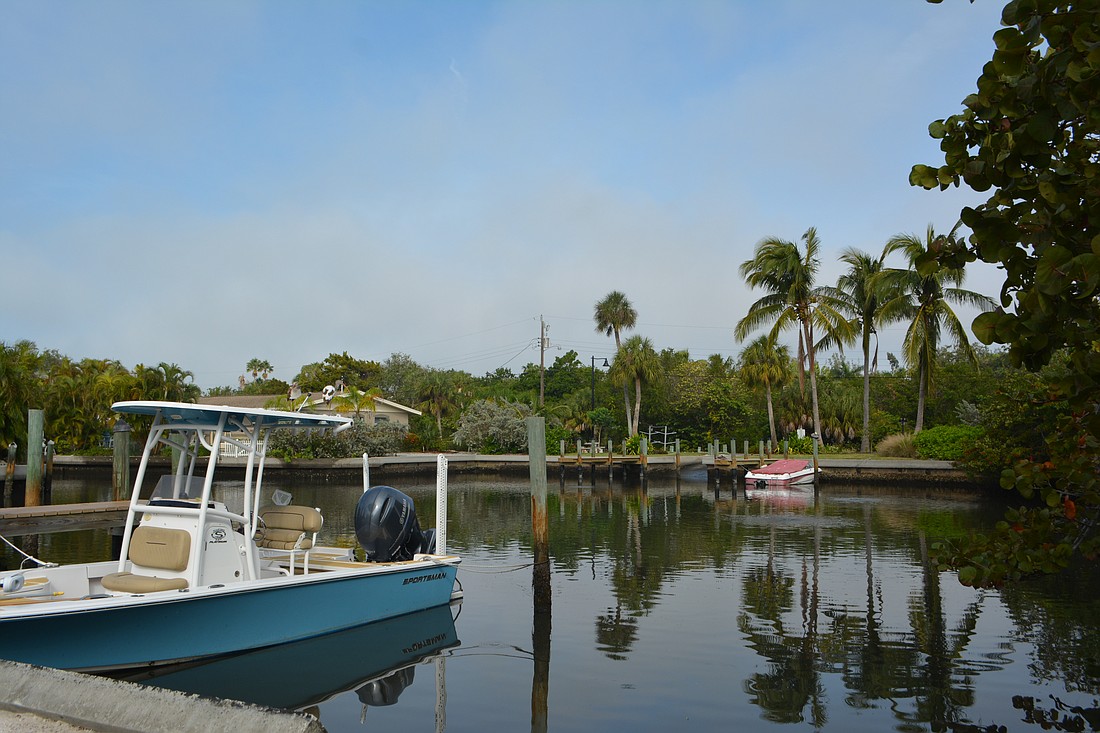
Buttonwood Harbour and Sleepy Lagoon are among the lowest-lying neighborhoods on the island, making them a top priority for solutions as sea levels are expected to continue to rise over time.
Strategies Kimley-Horn’s Senior Stormwater Engineer Molly Williams presented included road reconstruction, additional stormwater inlets, the establishment of so-called linear wetlands and check valves that keep water moving the right direction as town-specific projects. Strategies that can be pursued and implemented by both the town and its residents include tree box filters, bioswales, rain barrels, pump stations and improvements to sea walls.
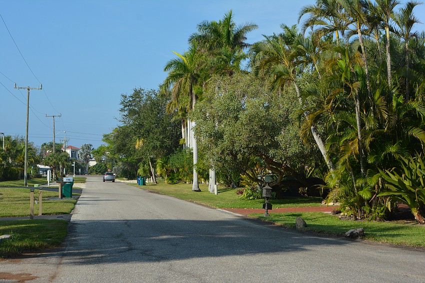
Suggested solutions for issues in the Sleepy Lagoon neighborhood centered on reconstructing roads to a higher elevation and were broken into phases including:
An alternative was presented for phase four, which would raise the road with fill rather than fully reconstructing the road. Savings would be limited at about $50,000 less than is estimated for reconstruction.
Commissioner BJ Bishop raised the concern that while raising the roads would have benefit, the homes along those roads would still be sitting at the lower elevation.
"At some point in time, it is likely that these roads would have to be elevated again," Williams said. "...Part of this project would be making sure we get all of the finished floor elevations surveyed so that we know exactly where those houses are and not having an impact on them. We want to make sure we are not creating more problems for them."
Buttonwood Harbour suggestions include:
Projects one through three are suggested to be done together to maximize benefits. For example, if Buttonwood Drive was reconstructed, but not in conjunction with the ditch optimization project, the ditch could be further taxed as water runs off from the higher elevation of the road.
At the conclusion of the report Williams made the suggestion that the town move forward with seeking funding for phase one of the Sleepy Lagoon projects and with projects one through three for the Buttonwood Harbour portion.
Once funding is acquired, final designs and costs will be determined and brought to the commission.
The town dedicated some of its American Rescue Plan Act funding, about $1.8 million, to offset the costs of recommended actions for both the neighborhood-specific studies and the sea level rise study.
APTIM Environmental and Infrastructure provided phase four of its sea level rise study to commissioners, which includes elements of a comprehensive adaptation plan that would be beneficial to include to ensure best practices are used going forward.
Public Works Department Programs Manager Charlie Mopps described the report as a road map that can help stormproof and future-proof the town.
The town’s Planning and Zoning Board has already been doing extensive work to revise the town’s comprehensive plan. APTIM Climate and Coastal Resilience Lead Samantha Danchuk said relevant materials have been provided to the board as requested to ensure policies within the report could be taken into account when revising the town's plan.
"Policy can really be used to plan for the future and adapt to sea level rise," she said. "It really is one of your most valuable tools. It's really how you do successful long-term planning and sustainability for the community."
Existing policies critical to the proposed resilience plan include elements of the town’s comprehensive plan such as stormwater, transportation, capital improvement, future land use and code of ordinances.
Danchuk’s report listed new policies the town should consider to help ensure future resiliency.
She suggested minimal seawall elevation be set to at least three-and-a-half feet with the maximum height raised to six feet. Maintaining beach access points is also crucial in reducing the risk of storm surge.
New actions she suggested include adopting a future land use map that shows potential environmental conditions, requiring building officials to review permit applications for proximity to at-risk areas and requiring flood risk mitigation measures to be included in an application.
APTIM conducted the study for the town as it works toward implementing changes to deal with expected environmental changes.
The town has received about $131,289 to support the project.
Among the initial impacts discovered in phase one, APTIM found the town’s Public Works Complex, Recreation Center and Fire Station 92 are subject to nuisance flooding whereas the Mid-Key Water plant is subject to more serious disturbance flooding. APTIM’s report found the police station, Town Hall and South Key Water Plant have unlikely short-term risks.
The report found the Mobil gas station, the town’s only filling station, is prone to disturbance flooding. However, other commercial businesses such as the Bank of America, Suntrust Bank complex, Cannons Marina and Harborside Marina are subject to nuisance flooding.
The post office, Publix, Mediterranean Plaza, First Bank and CVS Pharmacy have unlikely short-term risk.
As mentioned above, nuisance flooding is flooding that often happens during high tide. Disturbance flooding is defined as flooding of more than 1 foot of water on the road where it is dangerous to drive; some parts of the road might close. Impact flooding is flooding from hurricanes or major storm surges.
The Town Commission will hear a final report and update at the Jan. 23, 2023 workshop meeting.